The Art of Mapping Kunanyi/ Mount Wellington
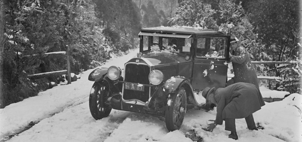
Kunanyi/ Mount Wellington is an integral part of the Hobart landscape. For the Muwinina people it is a place of cultural and spiritual significance, and a place of creation. Since the European settlement of Lutruwita/ Tasmania, the mountain has commonly appeared in visual and written descriptions of Hobart, providing a sweeping backdrop that frames the small town nestled along the river below. However, Kunanyi/ Mount Wellington is more than simply an iconic background; it has long been a source of resources for the town itself, including ice, timber and mining, amongst other things. Moreover, the mountain has long been regarded as a place of recreation and leisure, with picnics at the Springs and walks to its many waterfalls amongst its most popular activities. In 1935, Jack Thwaites (1902-1986) – a renowned Tasmanian photographer and conservationist- provided a wonderful description of Kunanyi/ Mount Wellington watching over Hobart, and alludes to the many ways in which the mountain draws people in…
Old Mount Wellington always calls us back with a lure all of her own … Winter or summer, many days can be spent exploring Hobart’s sentinel background; miles and miles of tracks (and now a wonderful scenic road to the Pinnacle nearing completion), leading in every direction, and exploring all the best scenic attractions.
J.B. Thwaites, ‘Mt Wellington’, Tasmanian Tramp 4 (1935: Dec), p.30.
The Tasmanian Tramp was published annually by the Hobart Walking Club from 1933 to 1949, although there was a break in publication between 1936 and 1944. Since 1951, the Tasmanian Tramp has been published biennially. The 1935 edition focused on the extensive network of trails on Kunanyi/ Mount Wellington Park. This included descriptions of the primary walks with notes and a beautifully-presented map of the mountain drawn by renowned Tasmanian artist, Vernon Hodgman (1909-1984).
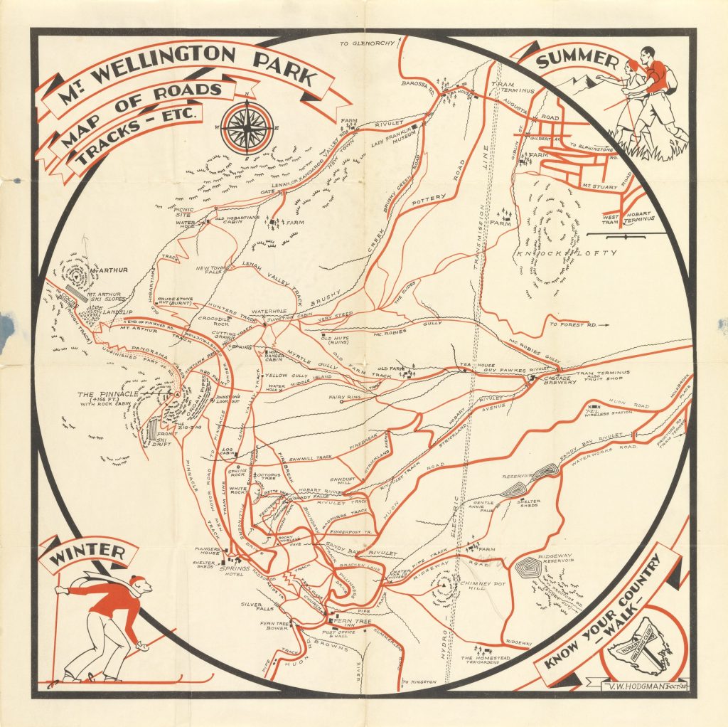
The Mt. Wellington Park, map of roads tracks (1935) map is important within the history of Lutruwita/ Tasmania, and is a significant item within the Libraries Tasmania historical collection; as such, the map was singled out as a treasure for the 91 Stories campaign. It is easy to see why: the map is a visual feast, bright and artistic in its design, while at the same time practical.
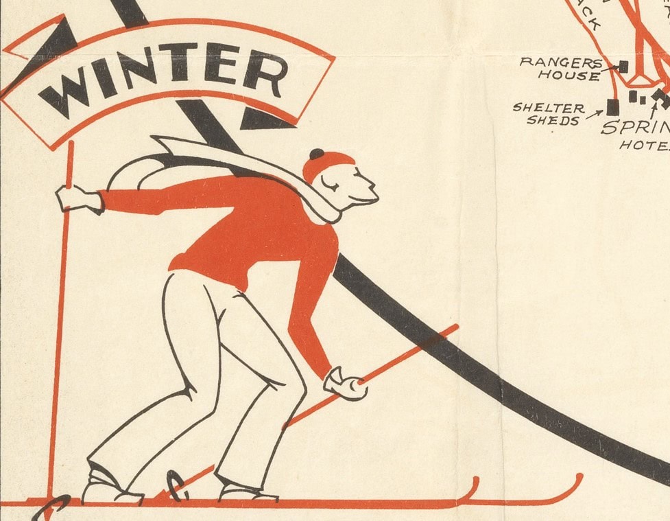
The map’s main purpose was to highlight the main access points to the mountain, and in so doing, to encourage its exploration, particularly for recreation. The depiction of the bushwalkers in the top right-hand corner and a skier at the bottom left point to the main target audience for this map.
The first thing many people notice when viewing the map is the extensive network of red lines marking out the walking trails and roads on the mountain. The Fingerpost Track and the Old Hobartian Track are just some of the many trails that are plotted, as is Pillingers Drive and the main access roads such as Strickland Avenue leading up from Hobart. Black lines mark the main geological and natural features; the Organ Pipes and main rocky outcrops at the summit are usefully marked out using half-circles with intersecting lines to show gradient; these look like a series of fluttering eyelashes, and have the lovely effect of personifying the mountain. Other natural features include Crocodile Rock, the Octopus Tree, as well as the many rivulets and waterfalls, such as Gentle Annie Falls. Black is also used to mark out the many huts and log cabins that are dotted all over the mountain, and other points of interest too, such as the historic Rocky Whelan’s cave. At the summit of Kunayni/ Mount Wellington, the ski fields on Mount Arthur and the front ski drift near the Pinnacle are marked to show the direction of the ski run (see the image ‘close up of the “unfinished part of road”’ below for these ski fields).
For its cartography, the Mt. Wellington Park, map of roads tracks (1935) drew upon the prior work of J.A.B. Forster, who in November 1931 produced a map of the tracks and main features of Kunanyi/ Mount Wellington. However, Vernon Hodgman’s artistry and creativity marks this map as extraordinary: it is not only practical, but artistic in its design, and creative; the cartographic information is presented in a circle framed by a border, with the images of the walkers and skier around the outside. The circular design is not unlike the mappa mundi produced in Medieval Europe in terms of its circular arrangement and people drawn in the border, such as the renowned Hereford Mappa Mundi from around the year 1300.
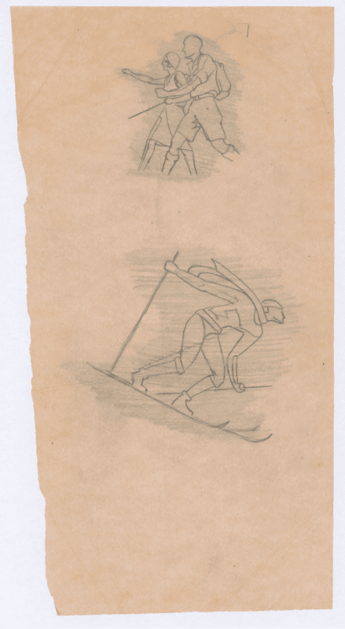
When the Mt. Wellington Park, map of roads tracks (1935) was drawn, the map’s creator, Vernon Hodgman, worked as a commercial artist and industrial designer at Cadbury’s Claremont. Currently, in the State Library and Tasmanian Archive Reading Room (on the second floor of the Hobart Libraries Tasmania building) we have a display entitled ‘By Mountain and Sea: 100 years of Cadbury’s at Claremont’. This display includes original mock-ups and sketches by Vernon Hodgman, and includes the original sketch of the skier and the two bushwalkers from the map.
Access to Kunanyi/ Mount Wellington
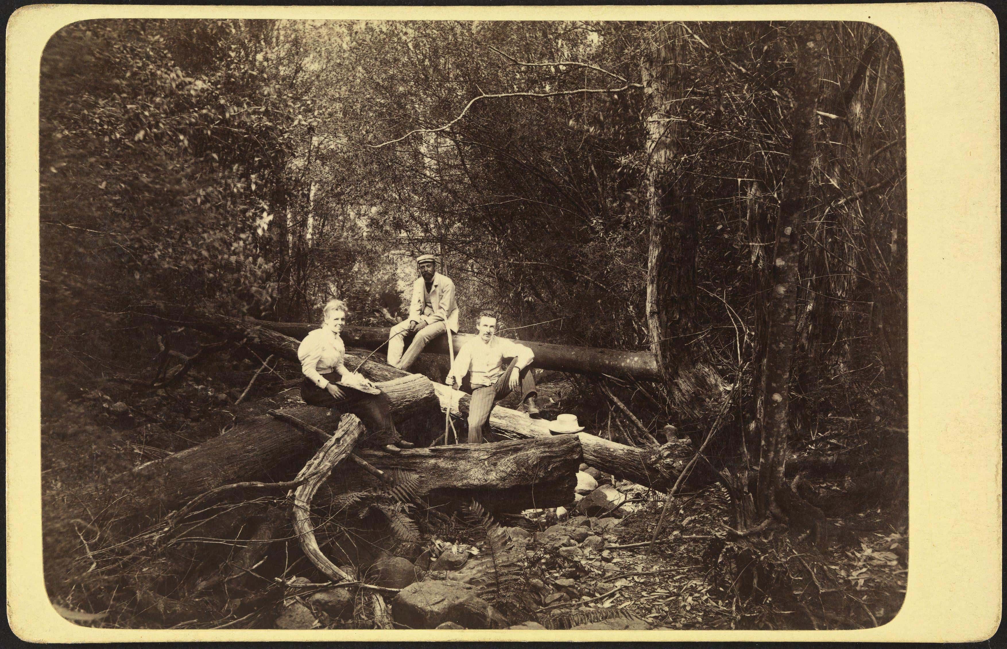
Within wider historical contexts, the Mt. Wellington Park, map of roads tracks (1935) is important within the history of the Kunanyi/ Mount Wellington park, and the various ways in which people have interacted with this landscape over time. The map provides a snapshot in time of the infrastructure and significant points of intertest as they existed in 1935, at a time when there had been a flurry of track construction. From the 1870s, maps and descriptions of how to access the mountain appeared in a range of guidebooks (Buckman, Mt Wellington: its history, walks and facilities, p.11); visitors would traverse the mountain via a series of very rough tracks, with the Springs a popular destination. It was in the 1920s and 1930s when a majority of the tracks were constructed, and many of the existing tracks were upgraded. As Maria Grist has explored, there were, for instance, improvements made to the Zig-Zag Track in 1927. The Old Hobartian track, which starts at Lenah Valley, was constructed between 1932 and 1934 by the Old Hobartian Association, who raised money to finance its completion. (Grist, A timeline for the track network of Kunanyi/Mount Wellington, p.56).
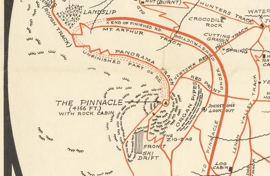
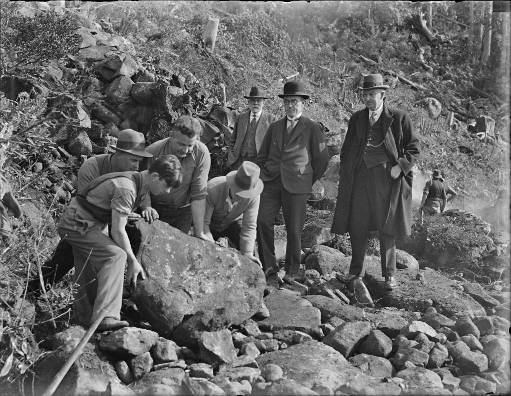
When the map was published in 1935, the road to the pinnacle had been started but was another two years off completion (it was opened on the 23rd January 1937), and so the unfinished road and its future projection is plotted on the map. In the early 1930s, Pillingers Drive went as far as the Springs, and this was expanded in the 1930s through a depression works program instigated by the Tasmanian Premier Albert Ogilvie, to provide employment. (Grist, A timeline for Pillinger Drive and Pinnacle Road : Kunanyi/Mount Wellington, Tasmania, pp.14-25)
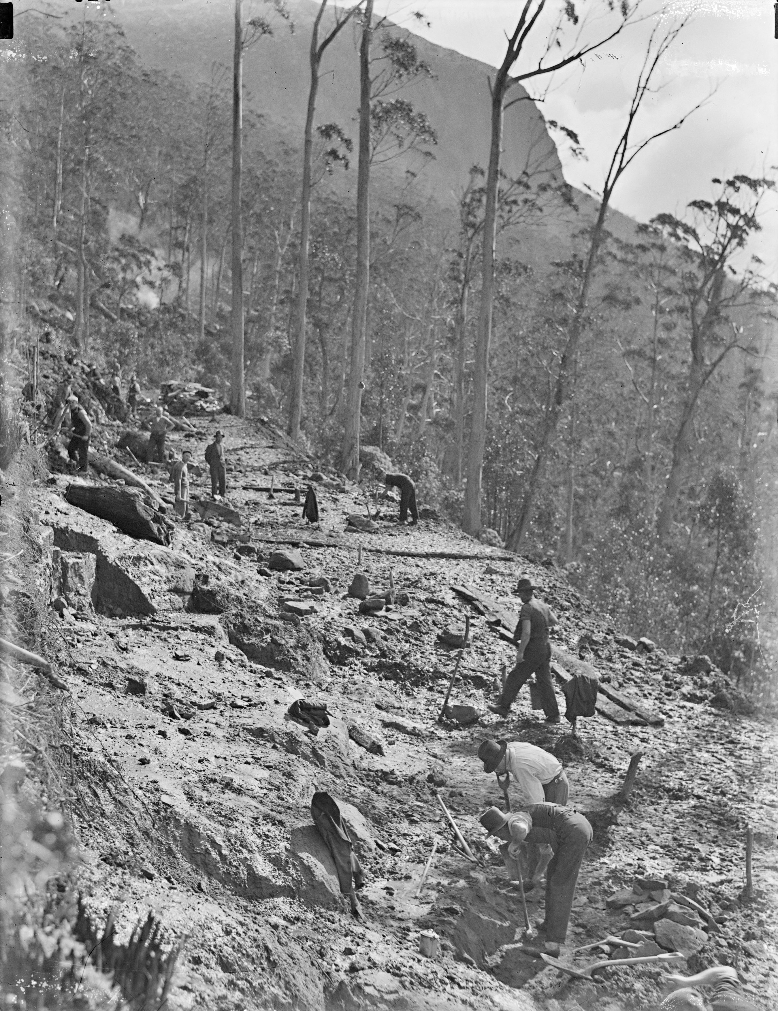
In many ways, the Mt. Wellington Park, map of roads tracks (1935) is not only about detailing the tracks and roads to enable access to the mountain, but is also a celebration of achievements – the building of the road to the Pinnacle and many of the tracks were constructed during a really difficult economic time around the world. These tracks and the roads allowed for more recreation and leisure, a luxury for many at this time.
The Hobart Walking Club
The Hobart Walking Club was founded in November 1929, making it contemporary to the flurry of track-building activity on Kunanyi/ Mount Wellington. Organisation of the club was led by E.T. Emmett, Director of the State Tourism Board (who served as the club’s first president), along with Jack Thwaites, who was the Secretary of the Scenery Preservation Board. The aim of the Hobart Walking Club was ‘to encourage walking, skiing and similar outdoor activities, and to promote an interest in the preservation of flora, fauna and natural scenery” (Kearsley ed., Hobart Walking Club Inc: a record of eighty-one years, p.3). Not just limited to Hobart and surrounds, club members participated in outdoor activities all over Tasmania, with organised excursions, picnics and multiple day hikes. For instance, in 1930, nine members of the Hobart Walking Club led by Jack Thwaites, hiked along the Linda Track from Derwent Bridge to the West Coast (Kearsley ed., Hobart Walking Club Inc: a record of eighty-one years, pp.6-7).
The Hobart Walking Club was at the forefront of both the promotion of walking as a recreational pastime in Tasmania, and in the conservation of wilderness areas. The Mt. Wellington Park, map of roads tracks (1935) is an important heritage item both within the context of the early history of the Hobart Walking Club, and the expansion of bushwalking and the opening of walking trails in wilderness areas in Tasmania more broadly.
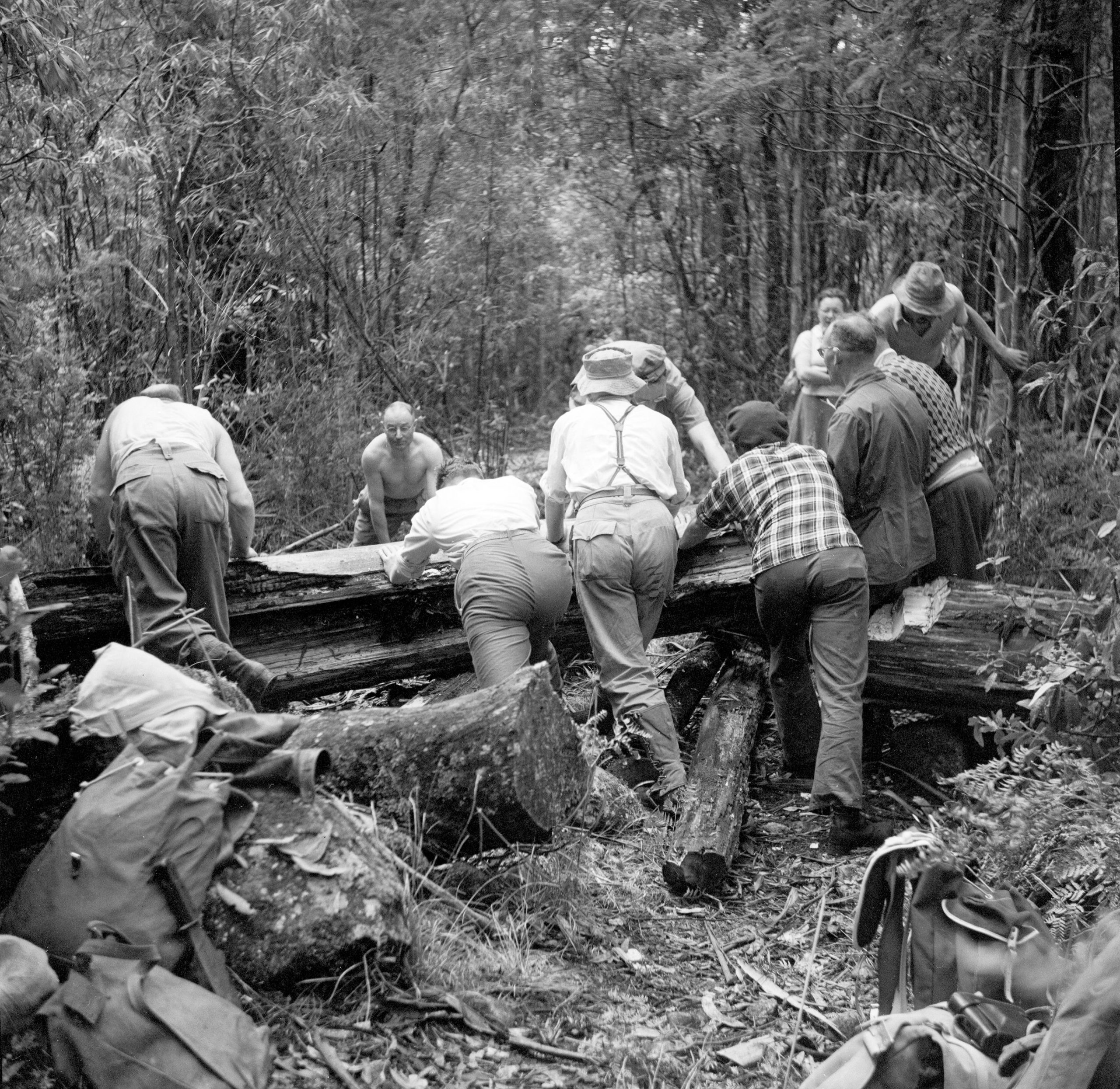
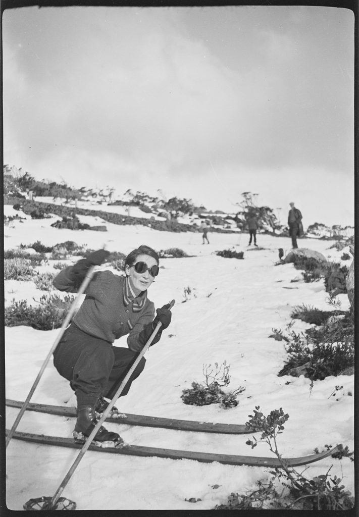
Kunanyi/ Mount Wellington was a key place for the Hobart Walking Club, with members participating in regular busy-bees to look after the tracks. There were also regular weekend visits to Mount Wellington to walk or to ski (Kearsley ed., Hobart Walking Club Inc: a record of eighty-one years, p.9), with many of the early members of the Hobart Walking Club interested in skiing. Two separate ski runs are plotted on the Mt. Wellington Park, map of roads tracks (1935), one at Mt Arthur and another to the south-west of the pinnacle, called the ‘Front Ski Drift’. In the Tasmanian Archive collection are many photographs and negatives taken by Jack Thwaites, several of them capturing his family or members of the Hobart Walking Club skiing on Kunanyi/ Mount Wellington.
Vernon Hodgman’s Art and Cadbury’s
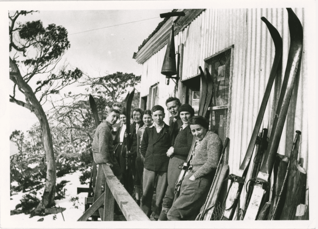
Amongst the group in the photograph above (with Jack Thwaites most likely behind the lens), is Vernon Hodgman, taken in 1936 one year after his Mt. Wellington Park, map of roads tracks (1935) was published. Vernon was involved in the Hobart Walking Club from its early days, and was a keen and skilled skier, serving in the A. I. F. in the Second World War as a ski instructor in the mountains of Lebanon.
Vernon Hodgman was a noted Tasmanian artist and the Keeper of the Art Gallery at the Tasmanian Museum and Art Gallery (TMAG). Born in Burnie, he attended Burnie High School and then Trinity Grammar Kew in Victoria. He received his training in art at the Hobart Technical College, where he studied with Lucien Dechaineux and Mildred Lovett. Vernon Hodgman taught art at the Hobart Technical College, and then the Launceston Technical College as Head teacher between 1947 and 1960.
Vernon Hodgman’s early career was spent at Cadbury Fry Pascall Pty Ltd at Claremont. He worked as a commercial artist and industrial designer here between 1928 and 1940, and in 1945 became the Head of the Design Studio. He designed the advertising and packaging for a range of products, including Old Jamaica and Energy chocolates, several of which are currently in the ‘By Mountain and Sea: 100 years of Cadbury’s at Claremont’ display that is on in the State Library and Tasmanian Archive Reading Room.

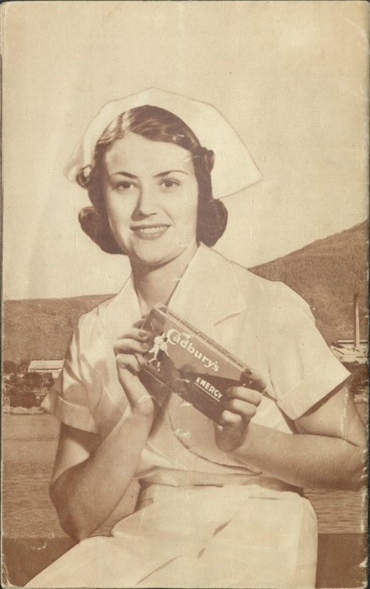
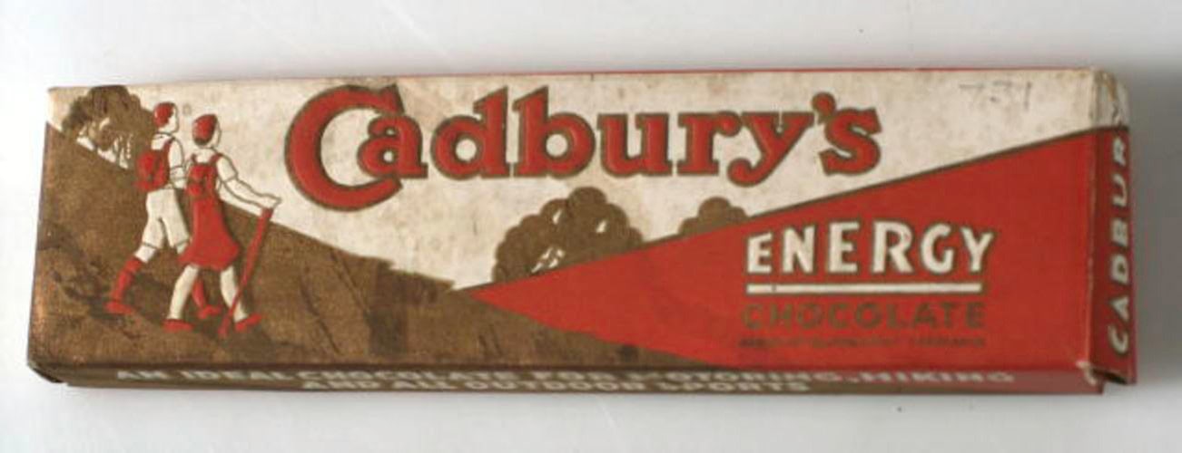
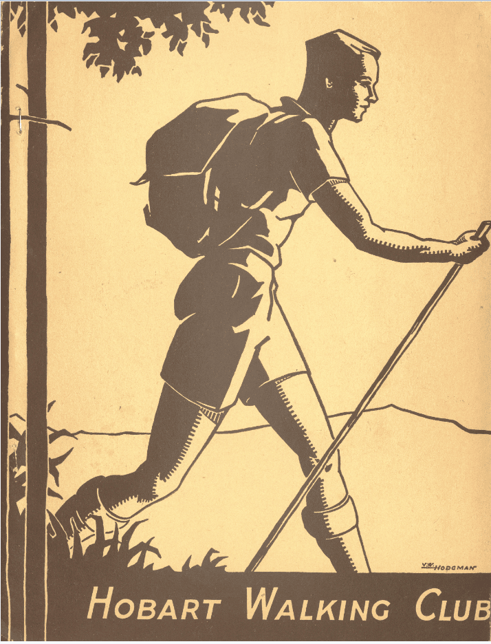
It was during Vernon Hodgman’s time at Cadbury’s that he created the Mt. Wellington Park, map of roads tracks (1935). The bushwalker motif located in the top right-hand corner of the map is echoed through imagery on other items held within the State Library collection. The two bushwalkers appear on the label of the Cadbury Energy Bar, although their positions are reversed. Advertising for the Cadbury Energy Bar appears in the many pamphlets on Cadbury’s held within the State Library collection, and also in the Tasmanian Tramp publications. In a similar fashion, a bushwalker with a backpack and a staff appears on the cover of Hobart Walking Club publications, with the name ‘V.W. Hodgman’ located on the bottom right. However, this time it is a lone bushwalker.
Vernon Hodgman’s Mt. Wellington Park, map of roads tracks (1935) is a fascinating item within the Libraries Tasmania collection. It maps a landscape of tremendous cultural and natural significance, and does so in a beautiful and artistic way. The map is itself an important artwork by an eminent Tasmanian artist, Vernon Hodgman. Moreover, analysis of other contemporary artwork produced by Vernon Hodgman, such as that produced during his time at Cadbury’s, add another dimension of understanding to the art motifs in the Mt. Wellington Park, map of roads tracks (1935). The map’s significance is further highlighted when considered within the context of the histories of human engagement with Kunanyi/ Mount Wellington, as well as the history of the Hobart Walking Club, and recreation in Tasmania more generally, particularly walking and skiing.
Bibliography
My sincere thanks to the Hodgman family for their generosity in sharing stories of Vernon Hodgman, and for loaning Items to Libraries Tasmania that are currently on display in the ‘By Mountain and Sea: 100 years of Cadbury’s at Claremont’.
Tasmanian Archive Sources
NG667 – Hobart Walking Club (1929-2007)
NG1155 – Jack Thwaites and Family
TA27 – Scenery Preservation Board (1915-1971)
State Library Sources
Greg Buckman, Mt Wellington: its history, walks and facilities [South Hobart, Tas.] : G. Buckman, 2000.
Hobart Walking Club : a publication devoted to matters of interest to the Hobart Walking Club (1939)
Maria Grist A time line for the track network of Kunanyi/Mount Wellington, ( [Hobart, Tasmania] : [Maria Grist], 2017)
John and Maria Grist, The Romance of Mount Wellington ([North Hobart, Tas.]: Wellington Bridge Press, 2011.
Brian Kearsley (ed.), Hobart Walking Club Inc: a record of eighty-one years 1929 to 2010, [Hobart, Tasmania] : Hobart Walking Club Inc., 2010.
Emily Stoddart, The Mountain: A people’s Perspective (Hobart, Tas. : Hobart City Council, 2004)
The Tasmanian tramp : magazine of the Hobart Walking Club (1933-)
I have a 1937 version, showing the road completed. My father used it for walking on the mountain and had annotated it in pencil with additional tracks and features.
As for Nell this is a very treasured item.
Thank you Andrew, how lovely to have your father’s annotations. A treasured item indeed.
Thank you for this fascinating story. How wonderful if the State Library were to publish and sell copies of this map.
Hi Sadie, a wonderful idea and one we will explore. Thanks so much!
How wonderful. We have an original copy, dated 1945. We just framed it up last year. My Grandpa gave it to me, he’d saved it from his Boy Scout days. Apparently they did many walks all over the mountain using this map. It is also very treasured in our family.
Thank you so much for writing and sharing this story.
Sarah
Hi Sarah, how interesting, thank you so much for sharing this. I have a lovely image in my mind of the map in the hands of young mountain explorers.
I have a ‘56 version of this map. It’s one of my most treasured items.
It has minor changes from the original.
Great to read this article.
Hi Nell, thank you so much for your comment. How lovely, what a treasure.