Playing with data: creating bushranger timelines

The bushranger Michael Howe and his gang terrorised Van Diemen’s Land from 1815 until Howe’s death.
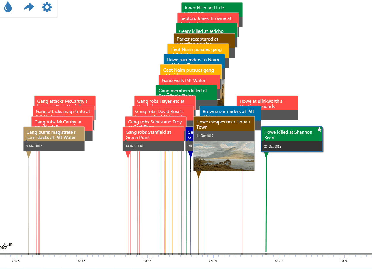
Next year will see the two hundredth anniversary of Michael Howe’s final showdown, so we created a timeline of the events that led to Private William Pugh of the 48th Regiment shooting and killing Howe on 21 October 1818 near the Shannon River.
Click on the following image to view the live timeline, then, double-click on any event in the timeline to view the newspaper article about that event.
Play around with the live timeline!

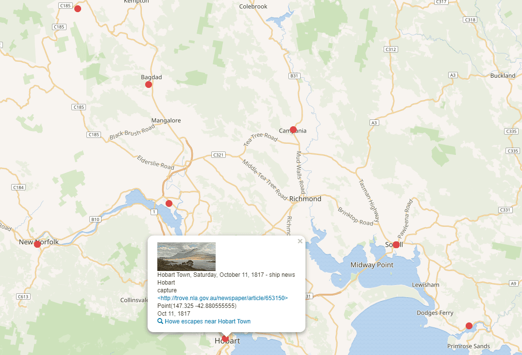
You can also view the gang’s activities on a map. Click on the map to interact with the live version.

To pull all of this together, we created Wikidata items for each of the gang’s gruesome activities and for the newspaper articles describing them.
We added some geographic coordinates to show the gang’s various locations on a map, and some dates to enable a timeline.
We used a structured query language called SPARQL to combine the items, which enabled the web application, Histropedia, and the web tool, Wikidata Query Service, to display the data in the ways you see here.
The timeline shows just how quickly the gang moved around!
For instance, during March-April 1817:
- 15 March – two gang members killed at Scantling’s Plains (near Oatlands)
- 02 April – gang members demand tea and sugar at Pittwater
- 10 April – Howe and others escape the military at Jericho
- 29 April – Howe personally surrenders himself at Hobart Town.
The Historical Records of Australia Series III, Vol II and “A History of Tasmania, Vol I” by Robson, contain a description of an encounter between Howe’s gang and a detachment of soldiers at the Ovens Huts near Coal River. On the night of 18 August 1814, the sleeping soldiers were surprised by a gang of 18 bushrangers, led by Howe. The gang took the soldier’s weapons, freed some prisoners they were guarding, and threatened to flog a young Private with the sinews of a kangaroos tail.
On your interactive map of Howe’s exploits there is a red dot at the head of the Tamar River (Low Head/George Town) that indicates the location for the story of the Gang robbing the house of David Rose of Port Dalrymple.
While Bass & Flinders named the entrance to the Tamar, “Port Dalrymple” in 1798, that became the name used for the whole settled area in northern Van Diemen’s Land and could refer to anywhere from Low Head to Longford in early publications and records. David Rose was and early arrival in VDL, was Supt of Govt herds and resided at his farm known as “Corra Linn” in the North Esk Valley, to the south of Launceston (presently St Leonards – Relbia area) – quite distant from Low Head.
Nice work – is there a cost to use the services?
Hi Kp, they are all online and free to use, but they do require some technical expertise.